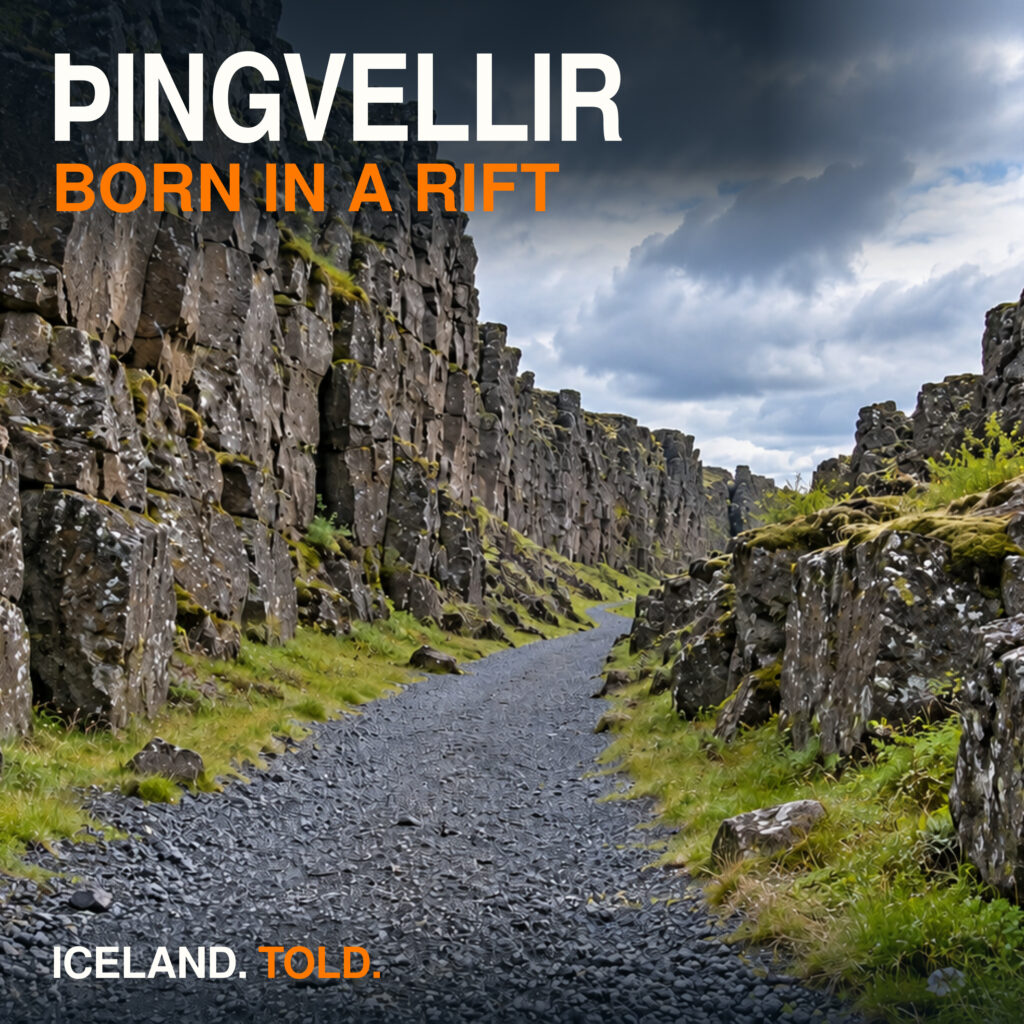

Golden Circle
A parliament set inside a rift, rivers that cut through lava, and towns built around heat rising from the ground. These stories follow the geology and human history behind the Golden Circle.
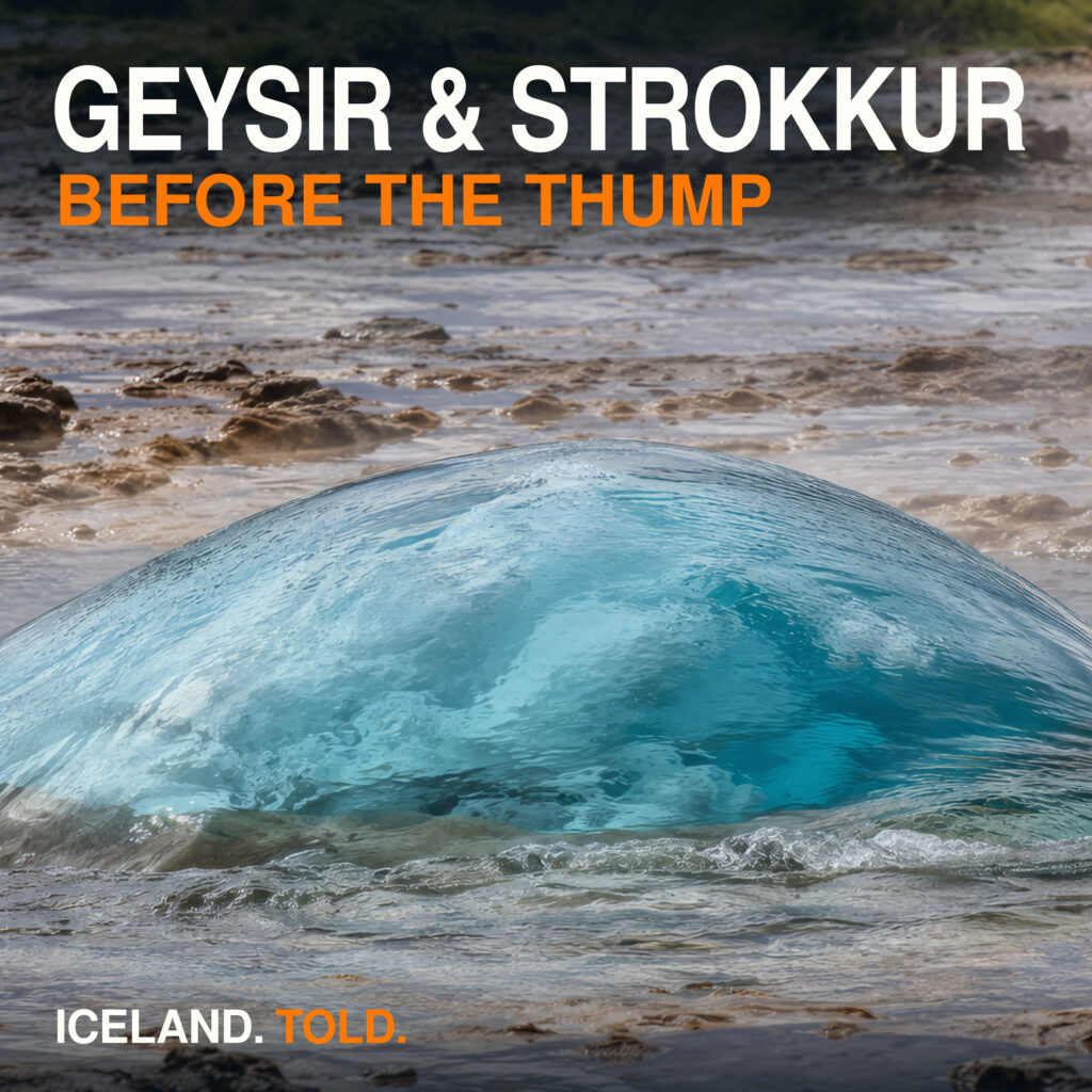
Geysir & Strokkur: Steam, Silica and Waiting in Haukadalur
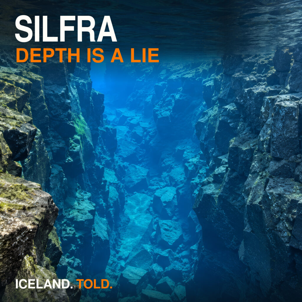
Silfra, Þingvellir: Clear Water, Cold Shock and the Long Glacier
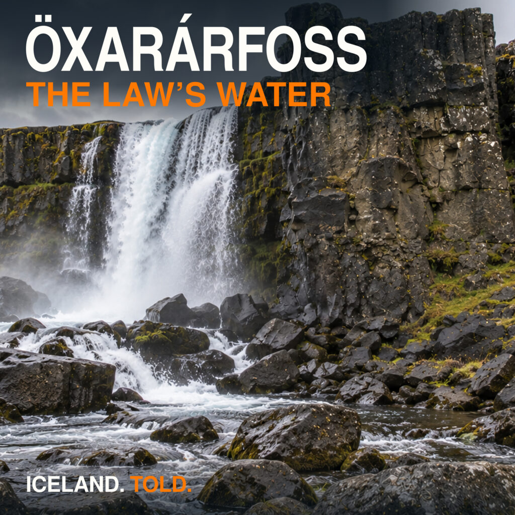
Öxarárfoss, Þingvellir: A Diverted River and the Drowning Pool
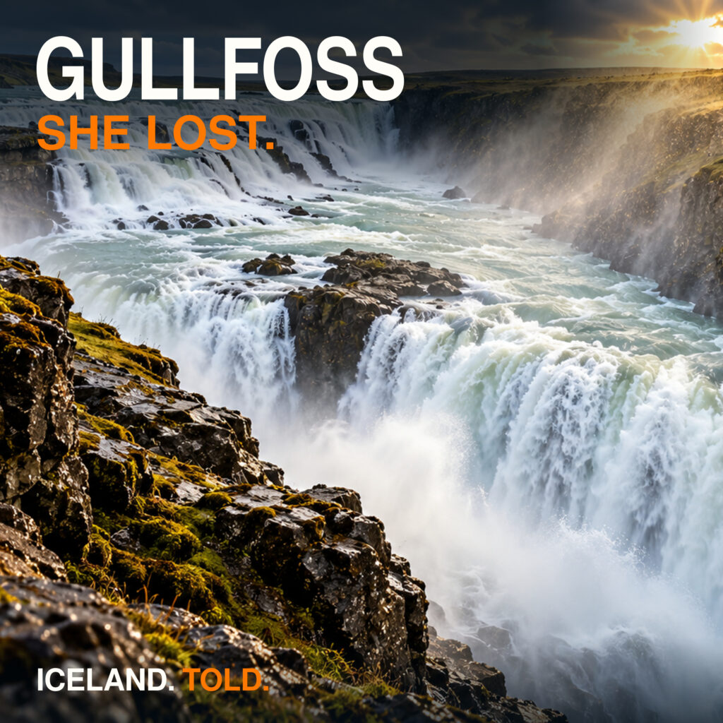
Gullfoss: Sigríður's Court Case and the Farm Beside the Falls
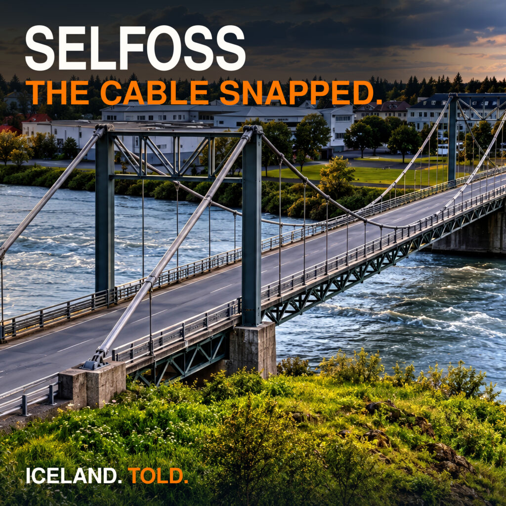
Selfoss: The Bridge Collapse, Earthquake and Rebuilt Old Town
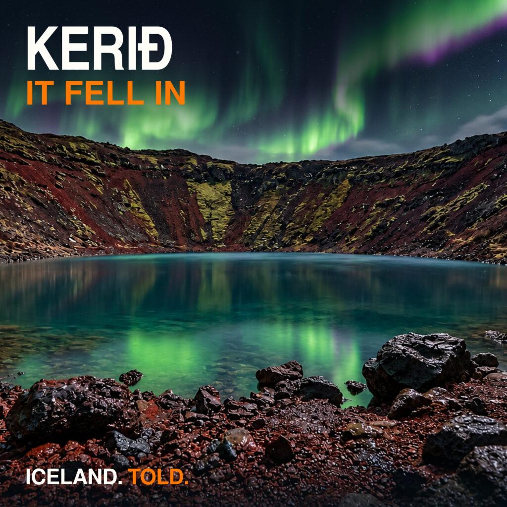
Kerið: A Collapsed Volcano, a Groundwater Lake and the Nykur
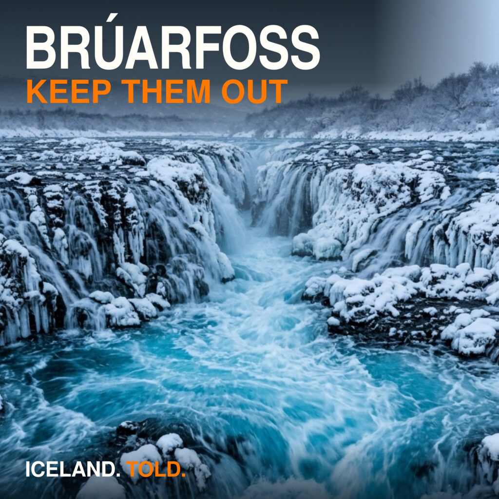
Brúarfoss: Blue Water, a Broken Bridge and Skálholt's Bishops
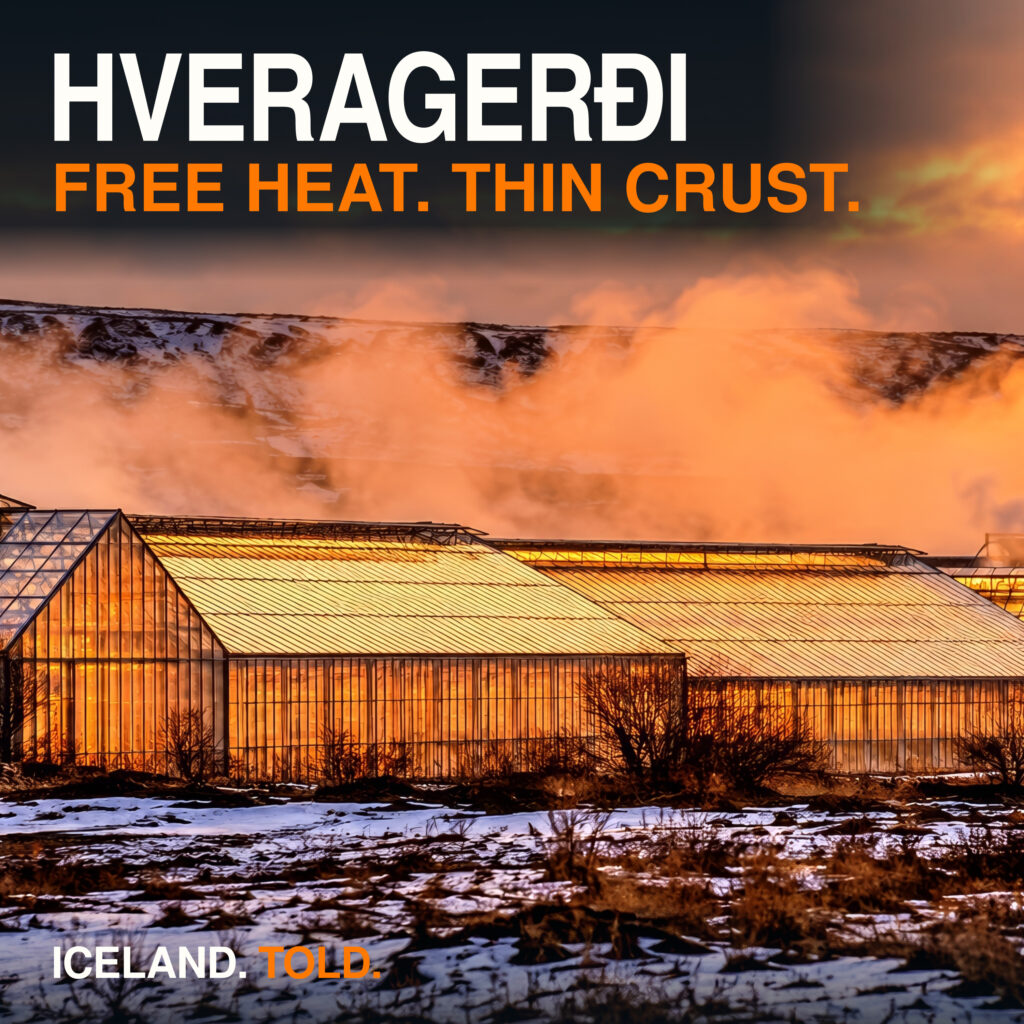
Hveragerði: Geothermal Heat, Greenhouses and the Poets' Colony
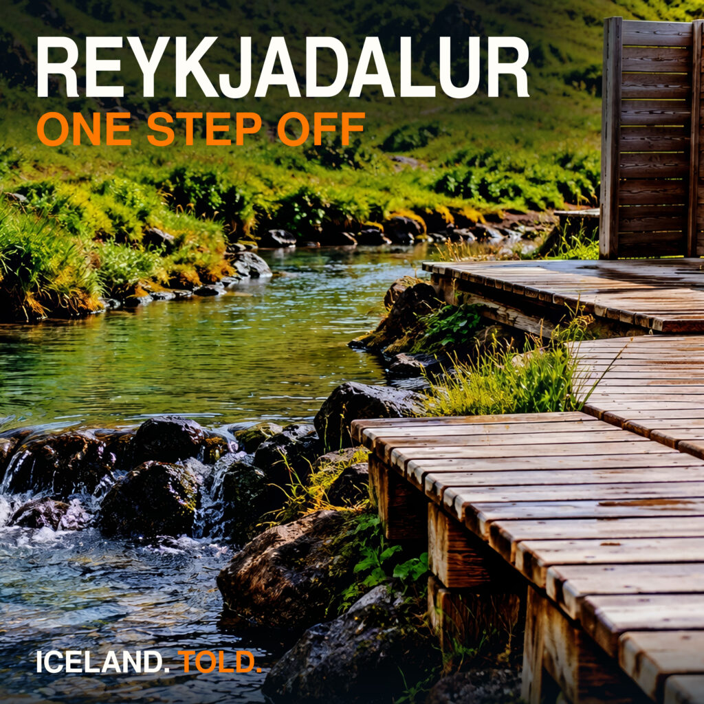
Reykjadalur: Hot Springs, Thin Ground and Mountain Folklore
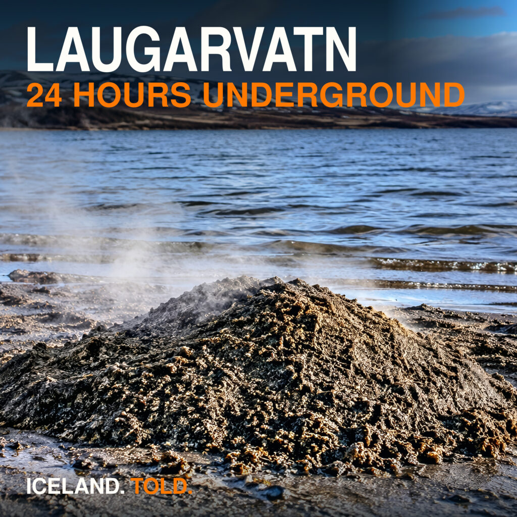
Laugarvatn: Hot Springs, Cave Homes and Geothermal Bread
Image credits
Selfoss cover: AI-generated illustration informed by reference photographs. Bridge and town adapted from Eysteinn Guðni Guðnason (Steinninn), CC BY 4.0. Changes: AI reframing, relighting and regeneration; thumbnail crop, shading and typography. Sources: Selfoss 0722, Selfoss 0721, Selfoss 0723.


Geysir, Silfra, Öxarárfoss, Gullfoss, Kerið and Brúarfoss covers use generated or synthetic promotional illustrations, based on the respective production artwork. They are not documentary photographs.
Hveragerði cover: adapted from Hveragerði 18 by Reykholt (2016), CC BY-SA 4.0. Changes: AI reframing, winter conversion, relighting and steam; thumbnail crop, shading and typography. The derivative is licensed CC BY-SA 4.0. No endorsement implied.

Reykjadalur and Laugarvatn covers are research-informed generated illustrations, with cropping, shading and typography; they are not on-location photographs.
Kerið cover: adapted from photographs by Alexander Grebenkov, CC BY 3.0. Sources: At the shore of Kerið crater lake; Kerið crater lake view from crater rim towards parking lot. Changes: generative reinterpretation of framing, light and season, omission of people, local corrections; thumbnail crop, shading and typography.

