THE STORY
Contents
- Öxarárfoss & Drekkingarhylur, Iceland: The 1,000-Year-Old Artificial Waterfall and the Parliament’s Drowning Pool
- How Geologist Guðmundur Kjartansson Caught a Medieval River in the Act
- Two Axes in the Water: Ketilbjörn’s Ice Hole and the Troll-Woman Jóra
- The Grand Verdict of 1564, the Eagle at Bessastaðir, and the Judges’ Tea Kettles
- Quick Facts: Öxarárfoss & Drekkingarhylur (Þingvellir National Park)
- Frequently Asked Questions (FAQ)
- Related Iceland Explained Episodes
Öxarárfoss & Drekkingarhylur, Iceland: The 1,000-Year-Old Artificial Waterfall and the Parliament’s Drowning Pool
Stand on the timber viewing platform at the northern end of the Almannagjá gorge in Þingvellir National Park, and the first thing that hits your face is a cold, metallic mist riding the downdraft off Öxarárfoss. Above the boardwalk, a roughly thirteen-meter, two-tiered curtain of white water pours over jagged steps of black basalt and crashes into a boulder-choked basin with a low rumble that swallows conversation. To the thousands of Golden Circle visitors who line the railing every afternoon, and to listeners who recognize that foaming white torrent from the cover of Nine Inch Nails' 1999 double album The Fragile, the cascade looks like the very picture of untamed subarctic wilderness.
In reality, every camera pointed at Öxarárfoss is photographing a tenth-century municipal plumbing project. When Iceland's early settlers established their national assembly, the Alþingi, on the dry lava plains below the cliff around the year 930, four thousand delegates and their horses needed a reliable tap. They climbed onto the upper plateau, dammed the river Öxará out of its natural bed, and forced it to drop over the fault wall into the meeting grounds. Six hundred years later, after the Lutheran Reformation, that same artificial water main was given a second job: five hundred meters downstream at Drekkingarhylur, the Drowning Pool, royal officials forced condemned women into coarse hemp sacks and held them beneath the freezing current with wooden poles, while the judges and bishops camped below kept dipping their kettles into the downstream flow.
How Geologist Guðmundur Kjartansson Caught a Medieval River in the Act
For generations, readers wondered whether the medieval chronicle account of the waterfall's creation was merely a tall tale. The thirteenth-century Haukdæla þáttr (preserved in the Sturlunga saga compilation) records that the Öxará was diverted into the Almannagjá chasm; the usual explanation is that this brought running water close to the assembly. Walk onto the lava plateau of Biskupsbrekkuhraun west of the fault wall, halfway between the farmstead of Brúsastaðir and the gorge rim, and you can still trace the dry, moss-crusted phantom riverbed called Árfar ("The River's Course"). Before 930 AD, the river followed that natural topographic gradient southwest past Kárastaðir and emptied directly into Lake Þingvallavatn near Skálabrekka, where its ancient submerged delta still forms the lake-floor shallows known as Árfarsgrynning.
In the mid-twentieth century, pioneering Icelandic geologist Guðmundur Kjartansson looked underneath the current inside Almannagjá and found the physical proof carved, or rather, not carved, into the stone. The nine-thousand-year-old tholeiitic basalt floor of the gorge beneath the river shows remarkably little fluvial smoothing, striation, or pothole erosion. Had the river been tumbling over the cliff since the end of the Ice Age, the basalt ledges would be worn round and trough-cut. Instead, the polygonal lava blocks remain sharp-edged, while the loose, water-rounded cobbles resting in the plunge basin consist of foreign mountain rock, Pleistocene palagonite breccia (móberg) and dense highland basalt, washed down from the peaks of Botnssúlur and Búrfell and dumped into a tectonic trench that never carved itself.
Because the Öxará is a surface runoff river (dragá) draining the highland tarn of Myrkavatn fourteen kilometers north along the old Leggjabrjótur mountain track, rather than a constant subterranean spring like neighboring Silfra, it has never entirely accepted its medieval detour. During heavy floods in 2013, high water broke into an alternate overflow channel above Stekkjargjá just north of the main falls. And during the summer assembly of 1740, as naturalists Eggert Ólafsson and Bjarni Pálsson recorded in their Ferðabók, a prolonged drought caused the waterfall to vanish altogether; delegates walked dry-shod across the stones between the church consistory and the law council (Lögrétta) until the river roared back over the cliff on a rainless morning without warning. The naturalists suggested that a landslide might have dammed the headwaters before the accumulated water broke free.
Even the fish inside the river are divided by that roughly thirteen-meter drop and the lower rock ramp of Hallurinn. Every September and October, giant lake-dwelling brown trout (Salmo trutta, locally called urriði), some weighing up to twenty pounds, swim out of Lake Þingvallavatn into the braided gravel channels below Drekkingarhylur to spawn. Above the waterfall and the gorge narrows, completely cut off from the nutrient wealth of the deep lake, lives a separate, landlocked population of stunted dwarf brown trout that spend their lives in shallow highland pools that freeze nearly solid each winter.
Two Axes in the Water: Ketilbjörn’s Ice Hole and the Troll-Woman Jóra
Long before the river was pried out of its bed, its name, Öxará, the Axe River, anchored two competing origin stories about how authority arrived in this valley. In the sober historical register of Landnámabók (the Book of Settlements) and Sturlunga saga, the tenth-century Norwegian settler Ketilbjörn the Old (Ketilbjörn gamli) marched east across the snowy moor of Mosfellsheiði in spring, built a temporary shed at Skálabrekka, and came upon a frozen river. When his men chopped a hole through the river ice, they dropped or lost an axe into the current, leaving the tool's name in the water.
Local folklore, gathered in the nineteenth century by Jón Árnason, preferred a bloodier blade. According to the tale, a man-eating troll-woman named Jóra lived in the crags of Jórukleif near Hengill and ambushed travelers riding toward the plains. A young Icelandic farmer traveled to Norway, where the King of Norway handed him a silver-inlaid axe and precise tactical instructions: creep up on Jóra while she slept face-down at sunrise on Whitsun morning (hvítasunnumorgunn), drive the blade between her shoulder blades, and the instant she cried out a curse to glue his hands to the wooden handle, shout the counter-command for the iron head to fly free of the shaft.
At dawn on Whitsun, the young man struck. When Jóra cursed his grip, the silver-inlaid head snapped loose from the haft; the dying giantess tumbled into the water, and the axe blade washed down into the river at Þingvellir. In the first decades of the Commonwealth, the real axes returned on the gravel islet of Öxarárhólmi just below the gorge, where men settled legal deadlocks through hólmganga: formal island duels fought with swords and shields until blood stained the stones, a practice finally outlawed shortly after Iceland converted to Christianity in the year 1000.
The Grand Verdict of 1564, the Eagle at Bessastaðir, and the Judges’ Tea Kettles
Follow the boardwalk five hundred meters downstream from Öxarárfoss today, and the gorge pinches inward at a quiet pedestrian bridge spanning a dark, swirling pool: Drekkingarhylur. What a visitor sees now is a tamed version of the site; in 1897 and 1911, road engineers blasted away the projecting rock lip and widened the constriction to anchor bridge foundations, calming what seventeenth-century witnesses described as a terrifying, undercut hydraulic vortex.
In the summer of 1564, a decade after the Lutheran Reformation, twenty-four prominent Icelandic men gathered at Þingvellir to draft a sweeping moral code known as Stóridómur, the Grand Verdict, which King Frederick II of Denmark ratified the following year. Modeled on the severest passages of the Book of Leviticus and supplemented by royal statutes against concealed childbirth (dulsmál), Stóridómur prescribed the death penalty not only for close blood incest, but for sexual relations within broad degrees of affinity by marriage, such as sleeping with a deceased spouse's sibling or a step-relative, as well as infanticide.
For those capital crimes, the law divided death strictly by sex. Men were led downstream to a gravel spit called Höggstokkseyri ("Chopping-Block Spit", near the flogging islet of Kagahólmi), where their heads were severed with an axe on a wooden block that the river eventually tore loose in a flood and washed out into Lake Þingvallavatn. Women were sentenced to Drekkingarhylur.
Between 1618, when Þórdís Halldórsdóttir from Skagafjörður was executed for bearing a child by her brother-in-law, and 1749, when Guðríður Vigfúsdóttir was drowned alongside the beheading of her brother-in-law Bjarni Jónsson, historical court rolls (Alþingisbækur) record eighteen women drowned in this pool (out of roughly thirty-one drowned nationwide). Almost none were wealthy; most were destitute farm maids or young women trapped in households where they had no legal protection against male masters or relatives. In 1695, young Þuríður Bjarnadóttir was drowned here after being impregnated by her own father.
Eleven years earlier, during the summer assembly of 1684, executioners led a maidservant from the royal residence of Bessastaðir named Guðrún Jónsdóttir out onto the wet basalt ledge above Drekkingarhylur. Accused of concealing a pregnancy and killing her newborn, Guðrún had testified in court that she had gone into labor alone in the homefield south of Bessastaðir church on the Saturday before Easter, delivered a stillborn child, and watched a sea eagle swoop down and carry the tiny body away. The judges rejected her story. On the rock ledge above the vortex, officials pulled a coarse hemp sack down over her head and torso, cinched a rope around her waist, shoved her into the cold churn, and pressed her beneath the surface with a long wooden pole until she drowned.
Then came the detail that no modern plaque quite prepares you for. The turf-and-canvas booths (búðir) of the bishops, sheriffs, and lawmen stood along the flat riverbanks immediately below the gorge. The water used to cook supper and brew drinks in those booths came from the downstream flow of the same Öxará that served the court as an execution pool.
Local conscience recorded what the court transcripts left out. In another folk tale preserved by Jón Árnason, the Öxará turns into wine for a single hour at midnight every New Year's Eve. When a curious young priest at Þingvellir ran down to the bank at the stroke of midnight and filled a bottle, he and an older colleague drank fine wine before the remaining liquid turned back into water. When the young priest returned to the riverbank the following New Year's Eve at midnight and raised the bottle to his lips, his mouth filled with warm human blood: an omen of violence and executions at the coming summer's assembly.
Walk back up the gorge to the timber deck at Öxarárfoss in winter, when freezing spray builds groaning blue-white columns of ice across the cliff face and turns the boardwalk into a tilted sheet of black glaze where only steel microspikes (broddar) will keep you upright, and the cold spray on your cheek feels very different than it did from the car park. The parliament that ordered this river over the cliff is gone; the chopping block washed into the lake centuries ago; and the rock ledge at Drekkingarhylur was blasted away for a bridge. Yet the tenth-century water pipe is still running at full pressure, pouring down the black basalt steps into the same narrow trench.
A STORY. NOT A GUIDE.
ICELAND. TOLD.
Quick Facts: Öxarárfoss & Drekkingarhylur (Þingvellir National Park)
| Feature / Attribute | Verified Field Detail |
|---|---|
| Location & Coordinates | Northern Almannagjá gorge, Þingvellir National Park, South Iceland (64.2664, -21.1217); ~45 km northeast of Reykjavík on the Golden Circle. |
| Waterfall Scale & Origin | 12.5-meter (41 ft) two-tiered drop; artificially created around 930 AD (Sturlunga saga / Haukdæla þáttr) by diverting the river Öxará out of its ancestral western channel (Árfar) to supply drinking water to the Alþingi. |
| Geological Proof | Identified by geologist Guðmundur Kjartansson: the ~9,000-year-old tholeiitic basalt floor inside Almannagjá shows minimal fluvial smoothing, whereas loose cobbles in the basin are foreign mountain rock from Botnssúlur. |
| Hydrology & Biology | Surface runoff river (dragá) rising at 400 m a.s.l. in Myrkavatn; subject to flash spates (2013 overflow) and rare droughts (1740; an upstream landslide dam was suggested as an explanation). Separates giant Lake Þingvallavatn brown trout (urriði) below Drekkingarhylur from dwarf trout above. |
| Drekkingarhylur Executions | Located 500 m downstream (64.2619, -21.1235); between 1618 and 1749, 18 women were executed here by drowning in hemp sacks under the 1564 Stóridómur code while men were beheaded downstream at Höggstokkseyri. |
| Primary Field Hazard | Persistent aerosol mist freezes into transparent black glaze ice (svell) on the wooden viewing deck, steps, and angular basalt boulders from autumn through spring; wear high-traction boots and microspikes (broddar). |
Frequently Asked Questions (FAQ)
Was Öxarárfoss really built by humans in the Viking Age?
Yes. The thirteenth-century Sturlunga saga (Haukdæla þáttr) records the diversion, and geological observations by Guðmundur Kjartansson support it. It is conventionally associated with the establishment of Alþingi around 930 AD and usually explained as a way of bringing running water to the assembly.
What happened at Drekkingarhylur (The Drowning Pool) downstream of Öxarárfoss?
Following the passage of the Lutheran moral code Stóridómur ("The Grand Verdict") in 1564 and royal laws against concealed childbirth (dulsmál), capital punishment at Þingvellir was divided by gender: condemned men were beheaded at Höggstokkseyri, while condemned women were bound inside coarse hemp sacks, pushed from a rock ledge into the deep vortex of Drekkingarhylur 500 meters below the waterfall, and held underwater with wooden poles. Historical court records document 18 women drowned in Drekkingarhylur between 1618 and 1749.
Why does Drekkingarhylur look calm today compared to old execution descriptions?
In 1897 and 1911, road builders blasted away the projecting basalt overhang and rock constriction at Drekkingarhylur to lay bridge abutments across the river. Those engineering changes widened the channel and permanently calmed the violent, recirculating vortex described in seventeenth- and eighteenth-century accounts.
Why is the river called Öxará (Axe River)?
According to Landnámabók, tenth-century settler Ketilbjörn the Old and his men chopped through the river ice during a spring journey and dropped or lost an axe in the current; whether the loss was accidental or deliberate is unclear. A later folk tale collected by Jón Árnason claims the silver-inlaid axe head used to kill the man-eating troll-woman Jóra on Whitsun morning drifted down into the river at Þingvellir.
Related Iceland Explained Episodes
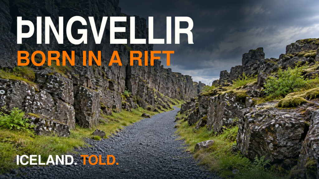
- Þingvellir: The Rift Where Iceland Was Born: Step out of the river channel onto the Law Rock (Lögberg) and fault walls of Almannagjá to see how the parliament operated.
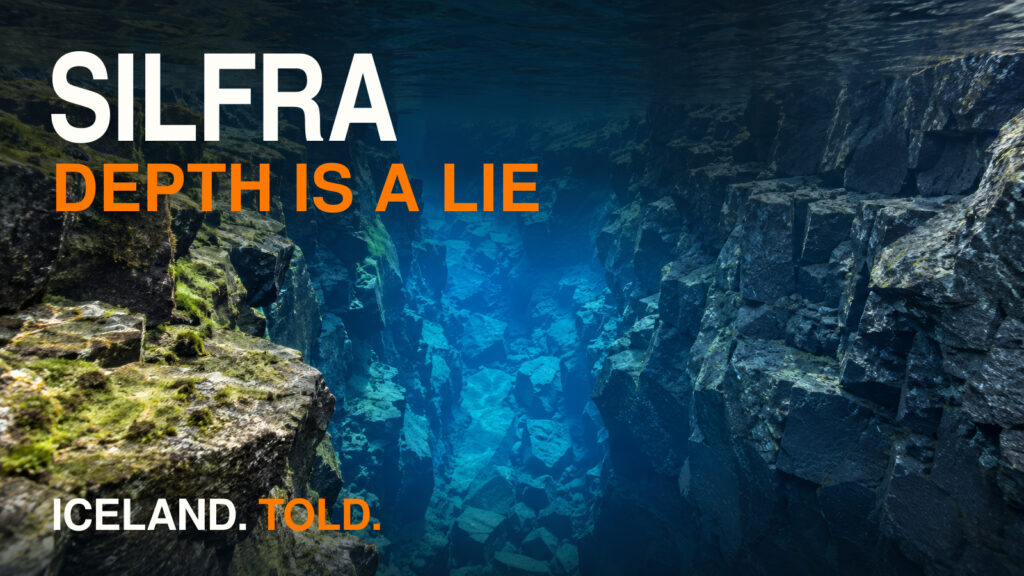
- Silfra, Iceland | When Clear Water Lies: Compare the surface-fed Öxará with the freezing, crystal-clear subterranean glacial water of the Silfra tectonic fissure just one kilometer away.
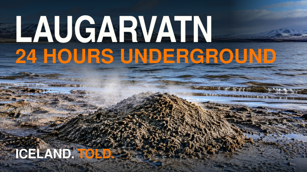
- Laugarvatn, Iceland | Hot Sand, Móberg, and Geothermal Bread (coming later): Follow the delegates' trail east from Þingvellir to the warm lakeshore spring where the assembly refused to be baptized in cold water in 1000 AD.