THE STORY
Contents
- Þingvellir, Iceland: The Parliament Inside a Tectonic Wound, Four Fish in One Lake, and the Men Burned in the Gap
- Why the Floor Is Sinking: Pahoehoe Blisters, the 1789 Drop, and the Moss That Keeps a Receipt
- The Siren on the Slate Mirror and the Four Fish Evolving in the Dark
- Architectural Geology at Lögberg and the Negative-Space City of Njáls Saga
- The Burning Gap, the Rain of June 17, 1944, and the Breath of Hengill
- Quick Facts: Þingvellir National Park & The Mid-Atlantic Graben
- Frequently Asked Questions (FAQ)
- Related Iceland Explained Episodes
Þingvellir, Iceland: The Parliament Inside a Tectonic Wound, Four Fish in One Lake, and the Men Burned in the Gap
Walk thirty paces down the gravel path into the Almannagjá gorge at Þingvellir, forty-five kilometers northeast of Reykjavík, and the first thing that registers is not the view; it is what happens to your voice. You are standing inside a natural wind tunnel, yet the air does not blow in a steady stream: it buffets and shears off the geometric black columns of olivine tholeiite basalt rising thirty meters above your shoulder. Speak a sentence toward the open plain in a crosswind, and the cliff face behind you catches the sound, strips off the consonants, and drops the words dead at your feet.
Tour coaches on the Golden Circle introduce Þingvellir National Park as a serene pasture of Viking democracy where visitors can take a pleasant stroll "between two continents." Look at the tilted lava layers underfoot and the archival records buried in the grass, and the postcard falls away. You are not standing in a river-carved valley; you are standing inside a structural wound: a seven-kilometer-wide block of the Earth's crust that is being stretched thin and dropped downward as North America and Eurasia pull apart. And for more than a thousand years, Icelanders used the acoustics, fissures, and pools of that slow-motion catastrophe first to invent a state without a king, then to burn men for sorcery and drown women in sacks, and finally to stand in the pouring rain of 1944 and take their country back.
Why the Floor Is Sinking: Pahoehoe Blisters, the 1789 Drop, and the Moss That Keeps a Receipt
To read the ground at Þingvellir, start with the difference between the walls and the mountains on the horizon. Framing the valley are jagged, brownish-grey ridges of Pleistocene hyaloclastite breccia (móberg): shattered volcanic glass born during the Ice Age when rising magma erupted straight into the crushing weight of a kilometer-thick glacier.
The floor beneath your boots tells the opposite story. Around nine thousand years ago, after the ice sheet retreated, fluid, iron-rich basaltic lava poured out of shield craters south of Hrafnabjörg, flooding the valley in a ropy pahoehoe sheet known as Þingvallahraun. As the moving lava cooled, its skin wrinkled like heavy tarpaulin and inflated over pockets of pressurized magma into hollow domes called tumuli: volcanic blisters that cracked open along their crests.
Then the Mid-Atlantic Ridge went to work on that frozen sea. Because the North American and Eurasian plates diverge across this rift zone at roughly two centimeters per year (with about seven millimeters of that annual pull concentrated directly across the Þingvellir fissure swarm), the brittle lava sheet is under continuous tension. Rather than splitting along a single neat line, a seven-kilometer-wide central block, a graben bounded by the parallel normal faults of Almannagjá on the west and Hrafnagjá ("Ravens' Gorge") on the east, is steadily subsiding into the crust. Scan the cliff edges and you can see the lava beds sagging and dipping inward toward the center of the plain, funneling the eye downward into the earth.
Every few centuries, that stored tension snaps all at once. During ten days of violent earthquakes in June 1789, the entire floor of the Þingvellir graben dropped between one and two and a half meters, tilting the valley southward and sending the cold waters of Lake Þingvallavatn flooding over ancient assembly meadows and riding tracks. Covering that fractured black stone is a thick carpet of woolly fringe-moss (Racomitrium lanuginosum) and chestnut-brown Iceland moss lichen (Cetraria islandica). In dry weather, the moss looks like brittle grey bone; ten minutes into a rain shower, it swells into saturated neon green. Yet that resilience is purely optical. Because the moss has no true root system and grows barely a few millimeters a year, a single visitor stepping over the rope barrier crushes the dry cellular air pockets and leaves a black basalt scar that takes decades to close.
The Siren on the Slate Mirror and the Four Fish Evolving in the Dark
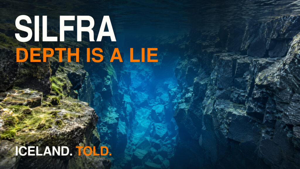
Follow the subsiding lava layers south, and the rift floor surrenders to Lake Þingvallavatn: Iceland's largest natural lake at eighty-four square kilometers, plunging to a depth of 114 meters inside the tectonic trough. Even the water filling the lake and its famous bordering fissures, such as Silfra, Flosagjá, and Peningagjá (originally Nikulásargjá, where park rangers had to ban coin-tossing after thousands of corroding copper and nickel coins began leaching heavy metals into the rock), refuses to behave like ordinary surface runoff. Most of it is glacial meltwater from the Langjökull ice cap fifty kilometers north, which sinks into the porous highland lava fields and filters underground through microscopic basalt pores for thirty to a hundred years before emerging in the rift at a constant two to four degrees Celsius, clear enough to see more than a hundred meters underwater.
At twilight in summer, when the surface of Þingvallavatn goes flat as wet slate, the silence across the water is cut by a haunting, yodeling wail that carries for kilometers between the fault walls. That is the territorial siren of the Himbrimi: the Great Northern Diver (Gavia immer, or Common Loon). Heavy-boned, red-eyed, and evolved for deep-water pursuit rather than easy flight, the himbrimi needs a long, thrashing runway across the lake just to get airborne, and breeding pairs will fiercely attack ducks or intruders that cross into their bay. While humans spent a millennium drawing legal boundaries on the shore, the birds drew theirs across the water with sound.
Beneath that slate surface, out of sight of the tour buses, a remarkable evolutionary sprint has been running since the Ice Age glaciers melted ten thousand years ago. When a single founding population of Arctic char (Salvelinus alpinus, locally bleikja) was isolated inside the newly formed tectonic basin of Þingvallavatn, the fractured lava geology offered radically different ways to make a living. In a geological blink of an eye, less than ten thousand years, that single fish species split into four distinct sympatric morphs sharing the same lake:
First, patrolling the open water are the sleek, silver piscivorous char (síbleikja): forty-to-sixty-centimeter apex wolves that hunt three-spined sticklebacks and smaller fish. Second, drifting through the pelagic zone in shimmering clouds are the slender planktivorous char (murta), filtering microscopic zooplankton through fine gill rakers. Drop deeper toward the submerged lava boulders along the shore, and you meet the third character: dark, heavy-bodied large benthic char (kuðungableikja) equipped with blunt snouts and underslung jaws built specifically for crushing the shells of Lymnaea freshwater snails. Finally, down inside the pitch-black interstitial cracks and caves of the submerged pahoehoe lava floor live the fourth morph: tiny, seven-to-thirteen-centimeter dwarf benthic char (dvergbleikja), twisted, juvenile-featured cave explorers that never leave the rock crevices. Just as the rift split the crust into fractures, biology split a single fish into four separate lives to fill them.
Architectural Geology at Lögberg and the Negative-Space City of Njáls Saga
When Norse settlers riding from every quarter of Iceland founded the general assembly, the Alþingi, here in the summer of 930 AD, they were not looking for a national park. They needed an amplifier.
Iceland's medieval Commonwealth had no king, no central executive, no written constitution, and no police force. The entire legal code of the country existed inside the memory of one elected official: the Lawspeaker (lögsögumaður). Every June, standing at Lögberg (the Law Rock) along the eastern lip of Almannagjá, the Lawspeaker had to recite one-third of the laws of the land aloud from memory, completing the entire legal corpus over his three-year term. The cliff-backed setting of Almannagjá offered a natural soundboard, although the original position of Lögberg remains debated, catching the human voice and projecting it outward across the sloped assembly ground where the chieftains (goðar) and their followers sat. Without microphones or masonry walls, tectonic geology provided the infrastructure of mass communication.
For two weeks around the summer solstice, the empty lava plain below that cliff turned into a noisy, smoky metropolis of several thousand people. Nobody needed a printed calendar to know when to saddle their horses; the assembly moved with the solstice and the new grass. Chieftains rode in with their retinues (þingmenn) and stretched roofs of homespun wool (vaðmál) over permanent rectangular walls of turf and basalt stone called búðir (booths). For a fortnight, the rift floor smelled of peat smoke, wet wool, dried fish, roasted mutton, and horse sweat, echoing with the click of iron tack against basalt and the bargaining of merchants, ale-brewers, sword-smiths, and matchmakers.
Walk across the plain at noon today, and that medieval city appears to have vanished completely. Stay until late evening when the subarctic sun drops below fifteen degrees, however, and shadow archaeology brings the metropolis back out of the earth. In low-angle golden light, dozens of subtle rectangular grassy mounds pop into relief along the banks of the Öxará: negative-space foundations where the turf walls collapsed back into the soil. Right near Lögberg sits the mound identified as Snorrabúð, the booth of thirteenth-century lawspeaker, poet, and power-broker Snorri Sturluson. The courtroom world of Njáls saga, Gunnar Hámundarson, wise Njáll Þorgeirsson, grinning Skarphéðinn Njálsson with his axe, and the tense settlement after the Burning of Njáll, belongs to this assembly landscape, even if its scenes cannot be pinned to individual turf rectangles. When you walk across the grass at Þingvellir, you are walking on the floorboards of Iceland's medieval library.
The Burning Gap, the Rain of June 17, 1944, and the Breath of Hengill
A geological amphitheater built to carry a human voice can just as easily be used to extinguish one. After the Lutheran Reformation and the passage of the draconian Stóridómur ("Grand Verdict") moral code in 1564, the Danish crown and Icelandic magistrates turned the fractures of Þingvellir into a compartmentalized execution machine.
Down in the river Öxará, eighteen women were tied inside coarse hemp sacks and drowned in the vortex of Drekkingarhylur, while roughly thirty men were beheaded with an axe on the gravel spit of Höggstokkseyri and thieves were hanged from the high rock of Gálgaklettur. Then, in the seventeenth century, the European witch craze reached Iceland, with a stark gender reversal. Whereas witch trials in continental Europe and colonial New England predominantly targeted women, Iceland's sorcery trials targeted men accused of carving runic staves (galdrastafir), keeping grimoires, or casting spells on livestock and neighbors. Out of twenty-two people burned alive for witchcraft in Iceland in the National Park's account, twenty-one were men and only one was a woman. Nine of those men were burned at the stake right here at Þingvellir, inside a narrow basalt fissure northeast of Almannagjá called Brennugjá, the Burning Gap, where the cleft in the lava concentrated the heat and sent a column of black smoke rising out of the earth in plain sight of the Law Rock.
Centuries later, when Icelanders were ready to end nearly seven hundred years of foreign rule, they returned to the exact same rock. On June 17, 1944, while the Second World War raged across Europe, roughly twenty-five thousand people, nearly one-fifth of the entire population of Iceland, traveled over muddy roads to Þingvellir to proclaim the modern Republic. The North Atlantic weather refused to provide a sunny postcard: it poured cold, relentless rain all day. Standing in a sea of wet trench coats, felt hats, and oilcloth slickers beneath the black wall of Almannagjá, the crowd listened with cold hands as the Prime Minister and the Bishop spoke at Lögberg and parliamentarians elected Sveinn Björnsson, the same lawyer who had argued Sigríður Tómasdóttir's case for Gullfoss, as the republic's first president. The Fjallkonan, the living emblem of Iceland, was ready to appear too, but Kristjana Milla Thorsteinsson waited in a car and was never called to the platform.
Today, that hard-won sovereignty shares the footpath with global television fiction. Walk down the main trail through Almannagjá and you are walking through the "Bloody Gate" of the Eyrie from Season 4 of HBO's Game of Thrones (while fifteen minutes west on Road 48, the eighteen-meter basalt horseshoe of Þórufoss served as the canyon where the dragon Drogon roasted a shepherd's goat). Tourists trace the footsteps of Arya Stark and the Hound down the gorge, often stepping right past the plaques marking where real men and women died under the seventeenth-century law.
Stay at Þingvellir after the last tour bus pulls out of the car park, either during the summer Midnight Sun, when horizontal gold light ignites every hair-tip of the moss, or in the winter Blue Hour, when snow-covered pahoehoe blisters glow electric cobalt between charcoal fault walls, and the valley strips away every script except its own. High on the cliff face, the dry, wooden croak of a raven echoes across the graben. And if a southerly breeze drifts over the mountains from the Hengill volcano and the silver steam pipes of the Nesjavellir power station fifteen kilometers away, you catch a faint, unmistakable trace of hydrogen sulfide in the freezing air: a quiet reminder that just beneath the Law Rock and the moss, the furnace driving the plates apart is still burning.
A STORY. NOT A GUIDE.
ICELAND. TOLD.
Quick Facts: Þingvellir National Park & The Mid-Atlantic Graben
| Feature / Attribute | Verified Field Detail |
|---|---|
| Location & Status | Bláskógabyggð, South Iceland (64.2561, -21.1298); ~45 km NE of Reykjavík on the Golden Circle. Founded as a National Park in 1930 (marking the Alþingi's 1,000th anniversary) and inscribed as a UNESCO World Heritage Site in 2004. |
| Tectonic Architecture | 7 km wide subsidence graben bounded by the parallel normal faults of Almannagjá (North American margin) and Hrafnagjá (Eurasian margin), spreading at ~2 cm/year (~7 mm/yr across the local fissure swarm); subsided 1–2.5 m during the June 1789 earthquake crisis. |
| Lake Þingvallavatn & Evolution | Iceland's largest natural lake (84 km², 114 m max depth), fed by 2–4°C Langjökull groundwater filtered underground for 30–100 years; home to four sympatric morphs of Arctic char (Salvelinus alpinus) that evolved in <10,000 years, plus breeding Great Northern Divers (himbrimi). |
| Alþingi & Lögberg History | 930 AD: General assembly founded at Lögberg, using Almannagjá's olivine-tholeiite cliff as an acoustic soundboard for the Lawspeaker (lögsögumaður). 1000 AD: Christian conversion under Þorgeir Ljósvetningagoði. June 17, 1944: Republic of Iceland proclaimed in the rain before ~25,000 citizens. |
| Execution Geography (Post-1564) | Brennugjá ("Burning Gap"): 9 men burned alive for witchcraft in the 17th century (out of 21 men and 1 woman burned nationwide, according to the National Park's Brennugjá account). Drekkingarhylur: 18 women drowned. Höggstokkseyri: ~30 men beheaded. Gálgaklettur: Gallows Rock. |
| Conservation & Field Rules | Never step on the Racomitrium moss (crushes rootless structure for decades and hides deep lava cracks); coin-tossing is banned in Peningagjá to stop heavy-metal corrosion; recreational drone flights follow park-specific area and time restrictions. |
Frequently Asked Questions (FAQ)
Can you really see the crack between the North American and Eurasian continents at Þingvellir?
Yes, though it is not a single narrow crack, but a 7-kilometer-wide tectonic rift valley (a graben) where the Earth's crust is being stretched and dropped downward between two major parallel fault walls: Almannagjá on the western (North American) side and Hrafnagjá on the eastern (Eurasian) side, pulling apart at roughly 2 centimeters per year.
Why did the Vikings choose Þingvellir for their parliament in 930 AD?
Beyond its central accessibility from the populated western, southern, and northern districts and its firewood and grazing resources (enhanced after diverting the river Öxará into the gorge), settlers chose Þingvellir for its acoustics. The vertical basalt wall of Almannagjá behind Lögberg (the Law Rock) acted as a natural sound reflector, allowing the Lawspeaker (lögsögumaður) to recite the oral legal code to thousands of listeners without amplification.
Why were men burned for witchcraft in Brennugjá at Þingvellir instead of women?
Unlike continental Europe and colonial America, seventeenth-century Icelandic witch trials focused heavily on learned runic magic, grimoires (galdrabækur), and carved magical staves (galdrastafir), which were predominantly associated with men. Out of 22 people burned for sorcery in Iceland in the National Park's account, 21 were men and only 1 was a woman; nine of those men were burned at the stake in the basalt fissure of Brennugjá ("The Burning Gap") at Þingvellir.
What are the four types of Arctic char in Lake Þingvallavatn?
Since the end of the last Ice Age roughly 10,000 years ago, a single founding population of Arctic char (Salvelinus alpinus) in Lake Þingvallavatn has diverged into four genetically and physically distinct morphs occupying different lake habitats: large open-water fish-eaters (síbleikja), pelagic plankton-feeders (murta), blunt-jawed bottom-dwelling snail-crushers (kuðungableikja), and tiny 7-to-13-centimeter dwarfs (dvergbleikja) that live inside dark underwater lava crevices.
Related Iceland Explained Episodes
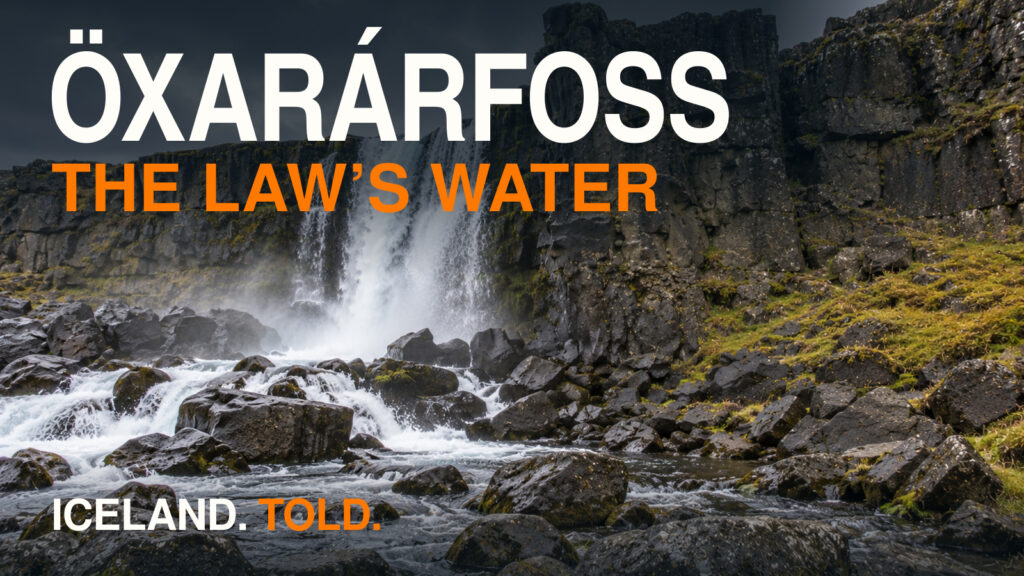
- Öxarárfoss & Drekkingarhylur | Dark History in Þingvellir: Walk five hundred meters north up Almannagjá to see how the 930 AD parliament diverted its own waterfall and turned the downstream pool into a site of execution.
- Silfra, Iceland | When Clear Water Lies: Slip into a dry suit at the southern edge of the Þingvellir plain to experience 100-meter visibility inside two-degree glacial water between the tectonic plates.
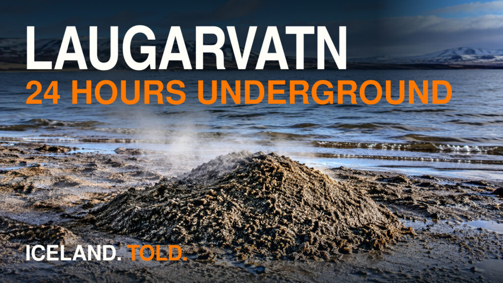
- Laugarvatn, Iceland | Hot Sand, Móberg, and Geothermal Bread (coming later): Follow the Northern and Southern delegates out of Þingvellir in the summer of 1000 AD to the warm lakeshore spring where they agreed to be baptized.